Challenge
The project aims to create an integrated cartographic system for the emergency services in Flanders. At present, the emergency services are using a range of resources to gain insight into the scope of the disasters and incidents they are being called for. These tools use different maps, which are not compatible with each other and often incomplete.
The project therefore aims to develop an integrated and uniform solution with smart maps that quickly provide the right data to the care providers. Coupled to a uniform 'incident command system', this can make a difference in the event of a disaster/incident.
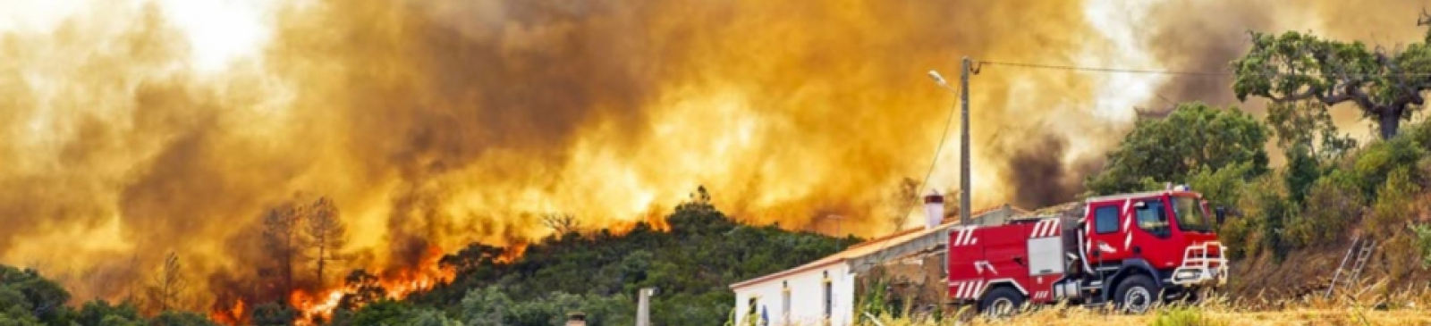
The need for an integrated solution is acute. A previously executed cross-border project 'POC Cartography Wildfires' made this clear and highlighted the need for greater integration of data and maps.
At the moment, relief providers are losing precious time because they have to 'fumble' with maps and gather information from various sources. An integrated cartographic system, including an information hub, would not only allow the emergency services to act more quickly and efficiently, but would also allow them to inform the public more accurately.
The project can build on the results of the previous project. Thanks to this case study (major natural fires) the initiators have a good insight into which functionalities the ideal solution should have and which (sub)technologies (concerning information exchange, dispatching, etc.) should be integrated in order to improve the daily exchange of information and assistance in everyday incidents.