Challenge
Digital elevation models (DEMs) represent the elevation of the Earth's surface and include both the elevation on land (topography) and the depth of the sea or river bottom (bathymetry). DEMs are used in numerous applications, such as nautical mapping, dredging plans, morphological analyses, habitat mapping and numerical modeling.
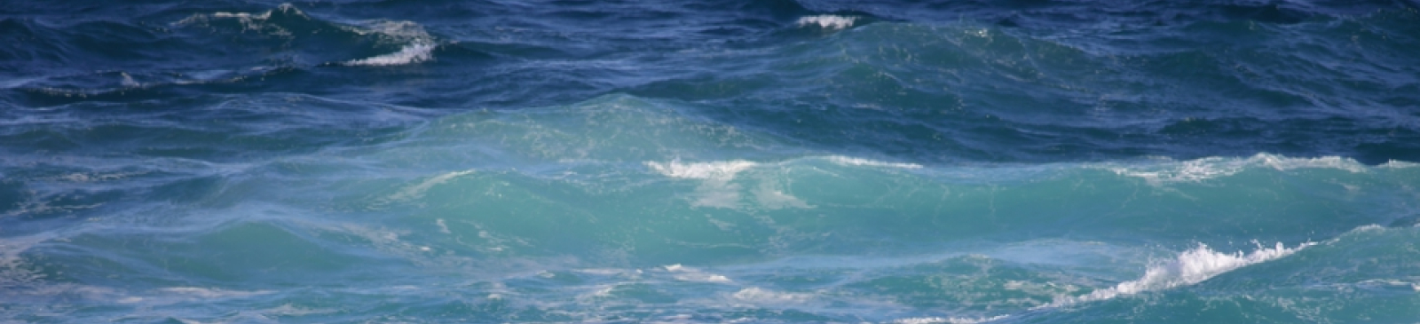
In coastal areas, where land and water meet, elevation cannot be determined with a single technique. Bathymetric data is collected with acoustic measurements, while the adjacent topography is measured with laser scanning from the air. In general, the bed position of the Scheldt estuary and the coastal area is fully determined once a year by bringing together the available data.
Conducting these polls currently faces two major challenges:
- The range of a survey area is limited by what is possible to survey in one day. To map extensive areas, several survey days (sometimes weeks) are required or possibly several survey vessels working simultaneously. As a result, some areas are only surveyed every few years. Collecting and processing bathymetric data is expensive and labor intensive.
- An even greater effort is required to map the intertidal areas as well. Bathymetric soundings should then best be carried out at high tide, which means less time per day is suitable for carrying out the soundings. Laser altimetry measurements should be carried out at low tide and in optimal weather conditions. Combining the results of both measuring techniques into one area-wide map of the soil position is complicated and results in high costs for collecting the necessary data.
To solve these challenges, the MOW - Maritime Access department, together with PIO, is looking for innovative solutions that make it possible to measure the hydrography of rivers and seas:
- over large zones (e.g. the entire Western Scheldt)
- at the same time (e.g. one day)
- both in shallow turbid water and the adjacent intertidal area
- with vertical and horizontal accuracy comparable to existing techniques.
With this project, the MOW - Maritime Access department aims to guarantee faster, more efficient and cheaper services in a very important sector for Flanders.


